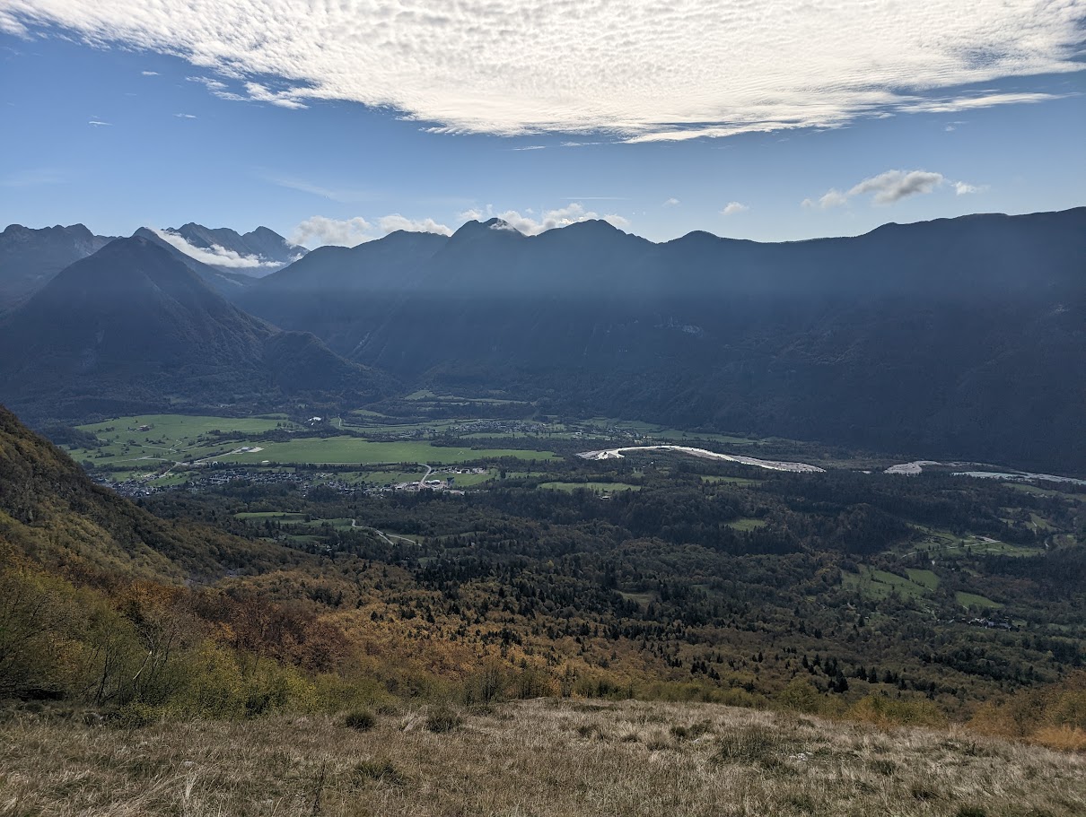
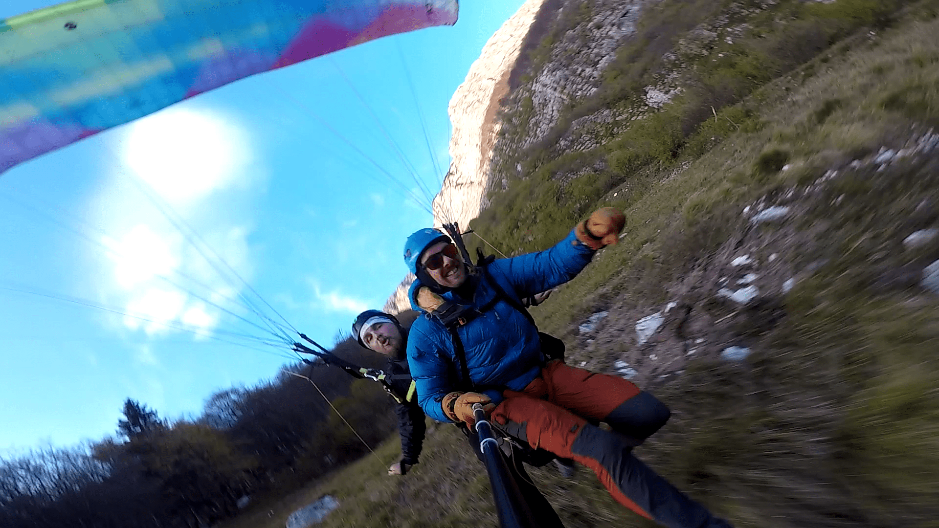
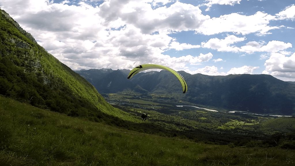
Planja is the go-to Hike&Flyparaglidingtakeoff in Bovec, especially in the off-season when Kanin cable car is not operating and the road to Mangart saddle is closed due to winter conditions. The takeoff is a grassy field with a perfect incline, suitable for beginers. On thermal days it is easy to find lift and climb higher. In the fall and winter, you can make use of dynamic winds for some local soaring.
The mountains around Bovec are full of game trails, mulatieras and cart tracks, so there are many ways to reach the takeoff and you can choose different starting points for the hike. My favourite way (also the most direct one) to reach Planja from Bovec is not marked, so I am posting a GPS track on the map below. This way I need about 1h15min to reach the takeoff and I think this is how long an average hike-and-flyer would spend on the trail. A fit person with light gear can defenetly reach it faster.
GPS: N 46°20’57.68’’ / E 13°31’10.85’’ AMSL: 1070 m WIND: E-W Dificulty: Easy/Medium (2 out of 5) Access: Hiking only Local club: JPD Kanin WARNINGS: Flying and landing in the airport zone is strictly forbidden! More info HERE…